Mourne Heritage Youth rangers learned a new skill this week… Mountain Navigation.
[caption id="attachment_51087" align="alignleft" width="390"]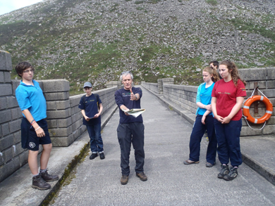 Mourne Heritage Trust youth rangers on a training exercise.[/caption]
Alan Whitcroft, MHT Volunteer Co-ordinator, explained how to read a four figure grid reference and a six figure grid reference using ‘eastings and northings’ and the benefits of romer scale.
Alan also explained their significance and accuracy… a four figure is accurate to 1km and six figure is accurate to 100m. The young people also discussed contour lines and how to distinguish between a valley and a spur, steep slopes and features you would expect to see on a map of the Mournes; old quarries, reservoirs, boulder screes slop, crags, rivers and buttresses. Each youth ranger was given a compass and a map and were shownhow to take a ‘bearing’ to aid navigation.
Before heading off on a geo-caching exercise, the young people paced out 100m. This can be a useful tool to measure distance in the dark, poor visibility and when looking for a feature such as path junctions.
The youth rangers took their new skill to hills and partook in geo-caching. They divided into two teams and both teams were given a six figure grid reference to find their treasure around the Blue Lough. Both teams did exceptionally well finding the treasure in record time.
]]>